Border management
- Syllabus
- Security challenges and their management in border areas
- As of
- October 2026
- land border
- one border one force
- Department of Border Management
- Comprehensive Integrated Border Management System
- smart fencing
- BOLD-QIT
- Integrated Check Post
- Land Ports Authority of India
- Vibrant Villages Programme
- Free Movement Regime
- Border Infrastructure and Management scheme
- Land Boundary Agreement 2015
- porous border
The first principle
A border is a line on a map, but it runs through rivers, forests, mountains and villages where people have crossed for centuries, so it can never be sealed by a wall alone. Good border management therefore does two jobs at once: it stops what must be stopped (infiltrators, arms, drugs, fake currency, cattle and people smuggled for profit) and it lets through what should flow (trade, pilgrims, families and goodwill). Every tool in this note is a way of getting that balance right on a particular border.
The core
What India has to guard
- Seven neighbours, one long line. According to the Ministry of Home Affairs (MHA), India has 15,106.7 km of land border with seven countries: Bangladesh (4,096.7 km), China (3,488 km), Pakistan (3,323 km), Nepal (1,751 km), Myanmar (1,643 km), Bhutan (699 km) and Afghanistan (106 km). The border with Afghanistan lies in Gilgit Baltistan, which is part of the Union Territory of Ladakh but under Pakistan's illegal occupation.
- Each border has its own character. The border with Pakistan is hostile and is the main route for infiltration and, now, for drones carrying drugs and arms. The border with China is undemarcated, with a Line of Actual Control (LAC) that the two sides perceive differently. The borders with Nepal and Bhutan are open by treaty, the border with Bangladesh is densely populated and cut by rivers, and the border with Myanmar runs through hills where the same tribes live on both sides.
How the state organises the work
- One border, one force. After the Kargil war of 1999, the Kargil Review Committee and then the Group of Ministers (GoM) report of 2001 found that several forces guarding the same border meant that no one was accountable. The GoM therefore gave each border to a single force: the Border Security Force (BSF) for Pakistan and Bangladesh, the Indo-Tibetan Border Police (ITBP) for China, the Sashastra Seema Bal (SSB) for Nepal and Bhutan, and the Assam Rifles for Myanmar. The Army holds the Line of Control (LoC) in Jammu and Kashmir and, with the ITBP, the LAC.
- A department for borders. The Department of Border Management was created in the MHA in 2004 to plan fencing, roads, floodlights, check posts and border area development in one place.
- Money for the hardware. Fencing, roads, floodlighting and technology are funded under the Border Infrastructure and Management (BIM) scheme, approved at Rs 13,020 crore for 2021-22 to 2025-26.
Dimensions
- Security. Infiltration across the LoC and the international border with Pakistan feeds militancy in Jammu and Kashmir, and the Myanmar border has given insurgent groups in the North East safe havens and arms; the note on Jammu and Kashmir and the note on the North East carry these cases.
- Crime and economy. Porous borders carry drugs, arms, fake currency, gold and cattle, and the profits from that trade often fund armed groups, which is why border management and the fight against organised crime are one subject.
- Demographic and social. Illegal migration from Bangladesh has changed the population of some border districts, and it remains a sensitive political question in Assam, West Bengal and Tripura.
- Diplomatic. Borders are managed jointly with neighbours: flag meetings and coordinated patrols with Bangladesh, a joint border management mechanism with Nepal, and special representatives' talks with China.
- Environmental and geographic. Rivers that shift course, marshes such as the Rann of Kutch and Sir Creek, and snowbound passes make fencing impossible in places, so technology and patrols must fill the gaps.
In practice
Fencing and technology
- The fence is mostly done in the west and the east. Most of the international border with Pakistan in Punjab, Rajasthan and Gujarat is fenced and floodlit. On the Bangladesh border, over 3,232 km of the 4,096.7 km had been fenced by February 2025; of the remaining 864 km, over 174 km was judged not feasible to fence because of rivers and marshes (Lok Sabha reply, 4 February 2025).
- Smart fencing fills the gaps. The Comprehensive Integrated Border Management System (CIBMS), designed for the Pakistan and Bangladesh borders, joins manpower, sensors, networks, intelligence and command and control into one picture. Two pilot stretches were opened in Jammu in 2018, and in 2019 the BOLD-QIT project (Border Electronically Dominated QRT Interception Technique, where QRT is a quick reaction team) began on the riverine border at Dhubri in Assam, where a fence cannot stand in the Brahmaputra.
- The Pathankot lesson. After the attack on the Pathankot air base in January 2016, a committee under Madhukar Gupta studied gaps in the fence along the Pakistan border, which fed the push for technology in broken stretches.
The Myanmar border and the end of the Free Movement Regime
- What the regime was. The Free Movement Regime (FMR) let people living within 16 km of the India–Myanmar border cross without a passport or visa, recognising that the same tribes live on both sides.
- Why it ended. After ethnic violence began in Manipur in May 2023 and refugees and armed men crossed from a Myanmar in civil war, the MHA announced in February 2024 that the FMR would be scrapped and that the whole 1,643 km border would be fenced. In its place, from late 2024, residents within 10 km of the border can cross only at notified points with a border pass issued by the Assam Rifles, valid for up to seven days.
- The fence has barely begun. When the decision was announced, only about 10 km near Moreh in Manipur had been fenced, and progress since has been slow. The plan is opposed by several tribal bodies and by the governments of Mizoram and Nagaland, who see it as dividing kin.
Crossing points and border villages
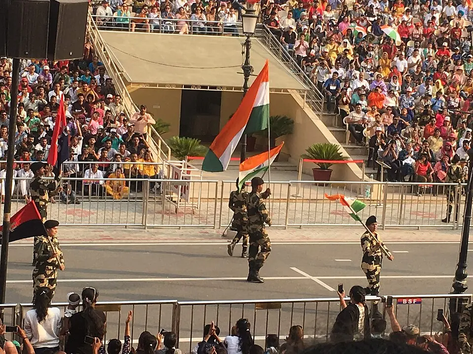
- Integrated Check Posts. The Land Ports Authority of India (LPAI), set up under an Act of 2010 and working from 2012, builds Integrated Check Posts (ICPs) where customs, immigration, security and quarantine sit under one roof. The first was Attari on the Pakistan border in 2012, closed for movement after the Pahalgam attack of April 2025, and Petrapole on the Bangladesh border is the largest land port in South Asia.
- Settling the Bangladesh boundary. The Land Boundary Agreement, given effect by the Constitution (One Hundredth Amendment) Act 2015, exchanged 111 Indian enclaves in Bangladesh for 51 Bangladeshi enclaves in India in 2015 and ended a source of statelessness and crime.
- Vibrant Villages Programme. Approved in February 2023 with Rs 4,800 crore for 2022-23 to 2025-26, it develops villages in 46 border blocks of 19 districts in four States and one Union Territory along the northern border with China, with 663 villages in its first phase. Its logic is that a lived in border is a guarded border, because empty villages give the other side room to advance.
- Vibrant Villages Programme II. Approved in April 2025 with Rs 6,839 crore for 2024-25 to 2028-29, fully funded by the Centre, it extends the idea to villages along all the other land borders in 15 States and two Union Territories, and treats residents as the eyes and ears of the border forces.

Issues and way forward
- Gaps where a fence cannot stand. Rivers, marshes and hills leave hundreds of kilometres unfenced, so smugglers shift to those stretches; the answer is to finish CIBMS on every such stretch, with sensors, drones and quick reaction teams, rather than more wire.
- Drones from across the border. Small drones now drop drugs and arms in Punjab and Jammu, beyond the reach of a fence; counter drone systems and better ground intelligence are needed, and the technology itself is covered in the Science and Technology note on drones and emerging warfare technology.
- Forces stretched thin. Border forces are also sent to elections, insurgency areas and law and order duties, which leaves posts undermanned and tires the troops; the GoM principle of keeping a force on its own border has to be protected in practice.
- Infrastructure on the northern border. Roads, tunnels and airstrips on the Chinese side are ahead of India's; the Border Roads Organisation's work has to continue, together with settled villages, so that the frontier is not empty.
- Hard fences on friendly borders. Fencing the Myanmar border and tightening movement on open borders can cut off families, trade and traditional rights, so the way forward is a regulated, documented crossing for residents, consultation with tribal councils and State governments, and fast clearance at ICPs for genuine travel and trade.
Common confusions
- International border and Line of Control. The international border is a boundary agreed by treaty or award and demarcated on the ground, as in Punjab and Rajasthan, while the LoC in Jammu and Kashmir is a military line that came out of the 1971 war and the Simla Agreement of 1972, not an agreed boundary.
- LoC and LAC. The LoC is held against Pakistan by the Army, while the LAC is the line with China that has never been agreed on the map, guarded by the ITBP with the Army.
- Open border and porous border. An open border, like Nepal's, is open by treaty for citizens of both countries, while a porous border, like stretches of the Bangladesh border, is meant to be controlled but leaks because of terrain or weak policing.
- Vibrant Villages Programme I and II. The first covers only the northern border with China; the second covers villages on all the other land borders.
For the exam
- Keyword bank: one border one force, Department of Border Management, Comprehensive Integrated Border Management System, smart fencing, BOLD-QIT, Integrated Check Post, Land Ports Authority of India, Vibrant Villages Programme, Free Movement Regime, border pass, Land Boundary Agreement 2015, porous border, Border Infrastructure and Management scheme, lived in border.
- Previous year questions: Practise the previous year questions on this topic →
- Use in an answer:
- Introduction with data: India shares 15,106.7 km of land border with seven countries, the longest stretch being 4,096.7 km with Bangladesh, and each border poses a different mix of threats (Ministry of Home Affairs).
- Introduction with a report: The Group of Ministers of 2001, set up after Kargil, laid down the principle of one border, one force, which still shapes how India guards its frontiers.
- Conclusion: A fence alone cannot hold a border that crosses rivers and divides kin; technology in the gaps, settled border villages and regulated crossings together make a border both secure and humane.
- Conclusion: India's border policy is moving from guarding a line to managing a zone, through CIBMS, Integrated Check Posts and the Vibrant Villages Programme, and the test now is to finish what has been started.